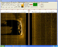
Principle
A side scan sonar build a graphical image of the sea floor, similarly to an aerial
onshore photography.
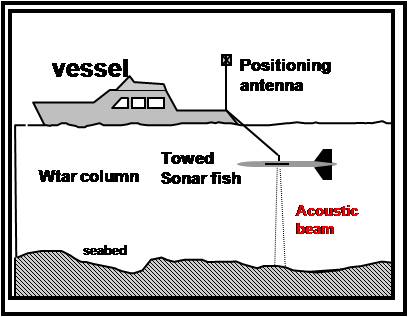
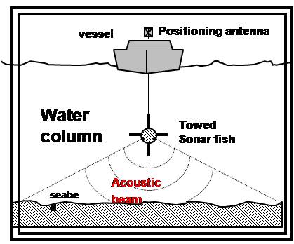
Principle:
A fish, transmitting and receiving a high frequency acoustic signal, towed behind
a boat is combined with a recording device. This towed fish insonify the sea bed
perpendicularly to the vessel route. The swath width of the surveyed sea floor
depends on the chosen scale.
|
|
Implementation and data processing
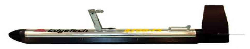
The Side Scan Sonar fish is towed behind a vessel in order to cover the whole survey area.
An accurate vessel and fish positioning system is imperatively required (e.g. a DGPS and USBL).
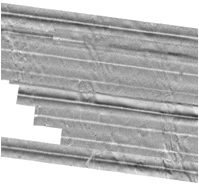
Side scan sonar images are recorded, corrected from obliquity and merged to build a mosaic.
Interpretation of the data allows to draw a sea bed cartography.
|
|
Application
Sea bed physiographic charting.
Géomorphological and sedimentological analysis of the site.
Sea grass charting.
Existing structures and obstructions location.
|